
Highlands, Polk, Hardee, and DeSoto Counties, Florida
Topographic Surveys
Give your design team measured information about the elevations and features of your site.
Request a survey quoteWhat this service covers
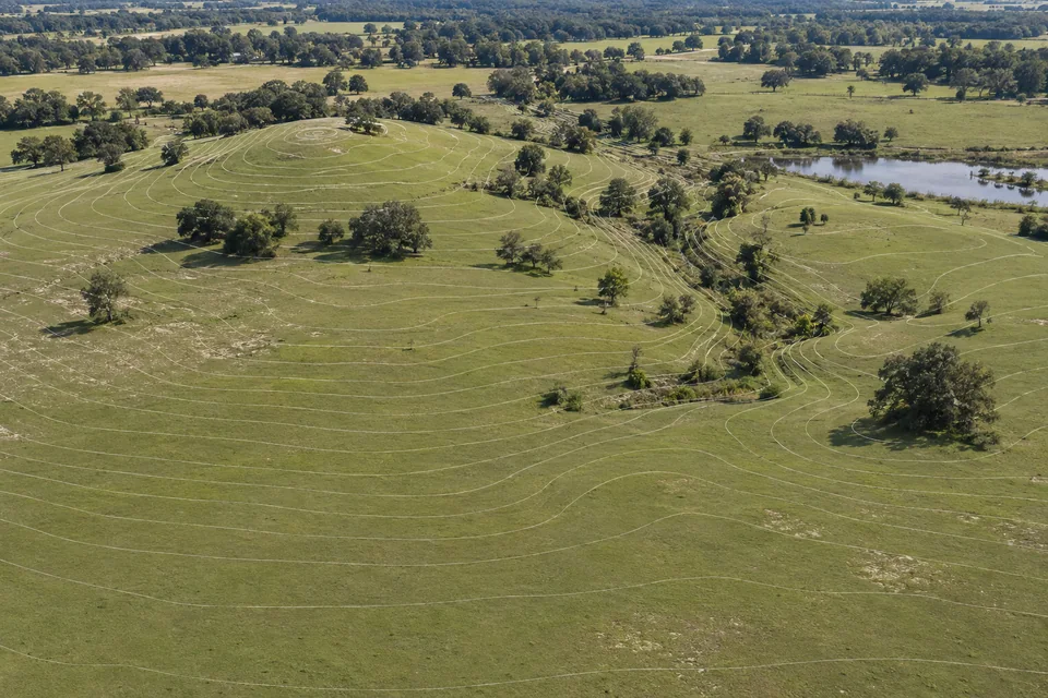
A topographic survey measures elevations and physical features to describe the shape and character of a site. Engineers, architects, and other design professionals use this information when planning buildings, roads, drainage systems, and site improvements. Depending on the project, the survey may include contour lines, spot elevations, structures, pavement, drainage features, and visible utility features. The level of detail is established around the design requirements and the limits of the area being surveyed. Clients receive a measured representation of existing conditions that provides a foundation for planning and design.
What to send when requesting a quote
- Property address and the limits of the area to be measured
- Existing site plans and previous surveys, if available
- Features, elevation references, and file formats requested by your design team
- Engineer or architect contact information and your project schedule
Email available documents to staff@whisler.net or call 863.449.0905 to discuss the assignment.
Common questions
What should my engineer provide?
Ask your engineer to identify the survey limits, site features, elevation reference, and delivery formats needed for the project. Share those requirements with Whisler before field work.
Does topographic work replace a boundary survey?
Topographic information and boundary information serve different purposes. Tell us whether your project needs both so the quote can address the complete assignment.
Your property, your next step
Surveying across our four-county service area
Whisler serves Highlands, Polk, Hardee, and DeSoto counties, including Avon Park, Sebring, Lake Placid, Wauchula, Lake Wales, Frostproof, and Babson Park. Share your property location, project requirements, and timing when requesting a quote.
Certified survey products are mailed as certified paper prints. Signed PDF copies are available upon request, along with CAD or related files appropriate to the assignment.
Request a quote